Trek Daily Ascent Budget Calculator
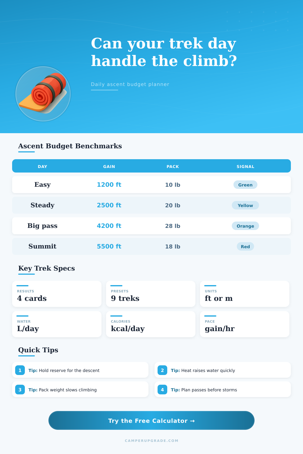
Estimate vertical-gain workload, moving time, water, calories, and reserve margin for a single hiking or backpacking day.
⛰Real Trek Day Presets
Daily Ascent Budget Snapshot
| Planning Check | Value | Formula | Status |
|---|
⚙Ascent, Load, Altitude, and Trail Inputs
📊Trek Spec Comparison Grid
📘Reference Tables
| Terrain Class | Time Multiplier | Use When | Planning Note |
|---|---|---|---|
| Smooth maintained tread | 1.00x | Good trail, few obstacles | Distance and ascent drive most of the day. |
| Rocky maintained trail | 1.10x | Typical mountain footpath | Foot placement and switchbacks add time. |
| Rough steps and roots | 1.22x | Wet roots, blocky steps, eroded tread | Descent fatigue can become the limiter. |
| Steep scramble sections | 1.38x | Hands needed in places | Groups bunch up and breaks increase. |
| Snow or loose scree | 1.50x | Soft snow, talus, scree, sand | Energy cost rises even when distance is short. |
| Altitude Band | Pace Factor | Water Add | Field Signal |
|---|---|---|---|
| Below 5,000 ft / 1,500 m | 1.00x | 0.00 L/h | Normal lowland response for most hikers. |
| 5,000-8,000 ft / 1,500-2,400 m | 1.04x | 0.03 L/h | Mild breathing load on sustained climbs. |
| 8,000-11,500 ft / 2,400-3,500 m | 1.10x | 0.06 L/h | Slow starts and longer rests become common. |
| 11,500-15,000 ft / 3,500-4,600 m | 1.20x | 0.10 L/h | Conservative pacing protects acclimatization. |
| Above 15,000 ft / 4,600 m | 1.35x | 0.14 L/h | Summit-style days need large reserves. |
| Daily Ascent Band | Light Pack | Overnight Pack | Budget Signal |
|---|---|---|---|
| Under 1,500 ft / 460 m | Easy to steady | Steady | Usually recovery-friendly. |
| 1,500-3,000 ft / 460-915 m | Normal mountain day | Moderate | Check descent and heat. |
| 3,000-4,500 ft / 915-1,370 m | Hard day | Big backpacking day | Start early and keep refills real. |
| 4,500-6,000 ft / 1,370-1,830 m | Very hard | Expedition load strain | Useful only with strong margin. |
| Over 6,000 ft / 1,830 m | Summit push | Often overloaded | Split the day when possible. |
| Preset Trek | Distance | Ascent | Why It Matters |
|---|---|---|---|
| Appalachian ridge | 11.8 mi | 3,200 ft | Repeated rollers make cumulative gain matter. |
| Sierra pass | 9.5 mi | 3,850 ft | Altitude and pack load raise the time budget. |
| Grand Canyon rim | 7.8 mi | 4,380 ft | Heat and late-day climbing stack risk. |
| Dolomites hut | 8.7 mi | 3,050 ft | Steep trail with rough descent pressure. |
| Desert canyon exit | 6.2 mi | 2,750 ft | Short mileage can still need heavy water. |
🧭Ascent Budget Tips
Your fitness tracker has nothing on the mountain. All it wants to know is if youve got the fuel in your legs and daylight hours left to make it back home without getting lost in the dark.
Way too many hikers underestimate what’s ahead based off horizontal distance shown on maps, only to be smashed by the vertical nature of the trail. How much do you realy need to climb? It is not about how far you want to travel in a day, because that can be the difference between having a nice hike or a traumatic one.
How to Plan Your Mountain Hike Safely
Here’s a trek daily ascent budget calculator that attempt to fill in this gap by translating raw elevation gain into realistic estimates for time, calories burned, and water needed. But few account for the combined impact of their load and altitude. An empty pack on a flat mile feels like twenty minutes of effort. A heavily loaded pack on a thousand-foot elevation gain at 10,000 feet in the thin air? That could take hours because everything changes so mucher.
The calculator takes those factors (and also a multiplier for the roughness of terrain) and runs it for you. It turns elevation numbers from abstract to concrete: “I need this much food, water, time, and other resources.” This is where many trail plans goes awry.
Take care with the pack weight entry. Carrying a thirty pound pack impacts more than simply your weight. It changes how your body moves and uses up your energy faster then if you were carrying a ten-day load on flat ground. The tool recognizes this and adjusts your metabolic rate according to your body weight relative to the weight of what’s being carried.
This is where the calorie output comes into play. You might believe you’re burning 3,000 calories per day, but the model tells you you’re burning four thousand. That thousand will be the difference between finishing in style or limping into camp too tired to prepare dinner.
And then there’s altitude and heat, which also screw with hydration planning. Depending on where you’re going, it calculates a new water-carry goal, taking into account not only elevation but also expected exposure. You’ll be sweating through more fluid per hour than you can feel thirsty for in the high alpine zone or desert canyons. And all of this comes clear from the reference table on the page, where you see water requirements ticking up as the sun burns hotter and the air grows thinner.
Fail to take these into account, and you can start a slow and deadly descent into poor thinking, one that turns simple navigation into an impossibility.
Another variable that hikers tend to gloss over is terrain class. If the path has a smooth tread, you can get into a steady rhythm. Careful footing and balance interrupt this rhythm on rocky switchbacks, loose scree, or snow-covered slopes. On these surfaces, each step must be placed carefuly. This increases the time cost per foot of elevation gain.
Experience shows that regardless of your fitness level, technical terrain slows everyone down, which is why the tool apply a multiplier. While you may be a fast hiker on paved surfaces, loose gravel underfoot will turn speed into a liability.
Consider these outcomes. They are suggestions, not promises. It’s not fate. Weather can change, your route may be muddled, and folks grows weary. That’s why the “suggestion” part includes a buffer for rest days, photo ops, and detours. This wiggle room is what differentiates between a reckless day and a manageable one.
You start crunching the numbers and realize youll only have eight hours of sunlight. Your math says you need nine hours just to move around. It’s a day too long. The sun doesn’t haggle.
Finally, consider the preset scenarios for perspective. These give you a point of reference for average conditions and popular hikes. You can now compare your intended day on your feet with an Appalachian ridge scramble, or the approach to a Sierra pass. This will put the theoretical numbers into concrete examples. Seeing how much time and resources someone else use during a tough day will make you think about your own plan in more realistic terms.
You want to be able to both reach the end AND enjoy the journey along the way. Plan for the ascent, but leave something in reserve to get back down, because that’s when things could of really go sideways.