Orienteering Pace Count Calculator
Convert map scale and calibration paces into control-leg counts, attack-point counts, pace-bead pulls, timing checks, and uncertainty ranges for sprint, forest, night, and rogaining navigation.
🧭Orienteering Leg Presets
⚙Map, Calibration, and Leg Inputs
Control Leg Pace Results
📊Current Leg Field Cards
🗺Orienteering Reference Tables
| Map Scale | 1 cm On Map | 5 cm Leg | Use |
|---|---|---|---|
| 1:4,000 | 40 m | 200 m | Sprint and school maps |
| 1:7,500 | 75 m | 375 m | Middle forest courses |
| 1:10,000 | 100 m | 500 m | Common forest scale |
| 1:15,000 | 150 m | 750 m | Long-distance courses |
| 1:24,000 | 240 m | 1200 m | Topo or rogaine maps |
| Terrain | Pace Factor | Time Factor | Check Interval |
|---|---|---|---|
| Paved sprint | 0.98x | 0.92x | 100 to 150 m |
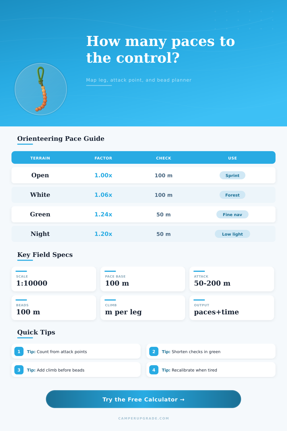
| White forest | 1.06x | 1.10x | 75 to 100 m |
| Light green | 1.14x | 1.26x | 50 to 75 m |
| Medium green | 1.24x | 1.48x | 40 to 60 m |
| Marsh or rock | 1.18x | 1.40x | 50 to 75 m |
| Attack Point | Typical Distance | Pace Use | Risk |
|---|---|---|---|
| Trail junction | 50 to 150 m | Count final bearing | Low if obvious |
| Hilltop or knoll | 40 to 120 m | Use contour plus count | Medium in low visibility |
| Distinct boulder | 20 to 80 m | Short final count | Low when mapped well |
| Vegetation edge | 30 to 120 m | Count along boundary | Medium if vague |
| Relocation line | 100 to 300 m | Count until catching feature | High if parallel |
| Pace Tool | Interval | Best Use | Field Note |
|---|---|---|---|
| Thumb count | 50 m | Sprint or fine nav | Fast reset, easy to forget |
| Bead counter | 100 m | Long legs and night | Pull one bead per interval |
| Watch split | 1 minute | Running courses | Pair with expected speed |
| Feature count | Feature to feature | Detailed maps | Best with pace as backup |
| Backstop count | Past control | Relocation | Know when to stop early |
💡Field Use Tips
It’s a trail junction in the middle of nowhere with heavy forest. You have your map out, and you’re supposed to find the control flag hiding behind a boulder half a kilometer away. In theory it’s a straight shot, and on paper it appear clean. But you know that a few feet of greening vegetation will add distance quicker then you can count to 10, turning a straight line into a series of zigs and zags.
That’s when pace counting becomes more than a military relic, it becomes your best friend. It’s the difference between finding the flag ASAP or combing the immediate slope around for several minutes with a racing heart.
Why You Need a Pace Counting Calculator
After plugging in your calibration information along with the terrain type, the calculator above does all the math so you won’t have to guess just how far those lush bushes is going to slow down your step length. A lot of orienteers begin with a baseline pace count by measuring a known distance on a track. Fresh out of the gate, maybe they discover they can take a hundred meter distance in only sixty-four double steps! That seems nice and firm until you enter into the woods; woodsy running turns things inside out.
As you’re negotiating rough footing, avoiding roots, reading the map nonstop, your stride shortens. Before you know it, you might lose your track count in thick greenery. If you don’t account for this change, you’ll reach your control point before you even notice you began counting. ‘I thought I had another three-hundred meters!’ you say. I must of passed the flag half an hour ago.” This is where people go wrong.
To account for this, the tool adjusts your expected pace count using factors related to the terrain. For example: Dense vegetation can increase your step count by twenty percent or more. These factors multiply against your base to give a final number that’s realistic, not ideal. It also takes into account climbing uphill, which reduces your stride length even more. Every step is shorter and more difficult when climbing steeply, requiring you to take additional steps just to reach the same amount of horizontal distance. This means your sense of where you are mentally will be off quite a ways from your current location on the ground if you’re not accounting for elevation change.
The true benefit comes in the planning. You’re not counting blindly into the darkness. Instead, you pick out a recognizable feature near the control, such as a big rock or a trail intersection. Choose something more easily accessible from your location and use it as an attack point. Then you make one last bearing and pace count for the rest of the way. The calculator will tell you precisely how many paces that last part is. It allows you to break down the total leg into manageable chunks, showing you when to pull a bead on your counter or check your progress against a landmark. This transforms a long, anxiety-producing slog into a series of short, sure-fire tasks.
There are also some wild cards like visibility and fatigue that throw a lot of people off when racing. When it gets dark out or foggy, both your depth perception and peripheral vision suffer. You have to move slower and take more careful steps. The tool compensates for this as well by shortening the recommended check intervals. For example, instead of having to count one-hundred meters from a landmark, maybe now its only fifty. That way you can check your location regularly enough to adjust small course deviations before they turn into big ones.
And then there’s the matter of tired legs which shorten your stride naturaly. You might be in the middle of a long race, or you might have been running all day at an event like a rogaine. Your body is exhausted, and even though the ground may still be flat, your pace count will increase.
You’ll also find on the page reference tables which provide a quick guide to typical intervals for checks on various terrain types. On a paved sprint course where it’s easy to run and features are predictable, you can afford to go out further. In dense forest, you need to be more exact since tiny missteps adds up fast. You want your uncertainty range smaller than the size of the control circle. So if the flag is 25 meters distant and you think maybe you might make an error as big as 50 meters, well then you’ve just navigated by guesswork. Properly setting and adjusting your interval makes guessing into a reliable skill.
The “pace” does not mean following a specific number religiously. It means having something else to rely on when things get fuzzy. You still check for catching features. You should still read the map. You should still keep an eye out for handrails. But when the contour lines blur and the trail vanishes, you can look down at your step counter and know how far away you are from that next point. Know just when to stop looking for that moving flag, because it is now close enough to reach.
This basic math is what will turn navigation from a stressful hunt into measured progress. You are not arriving somewhere because of good fortune, but stepping deliberately to each point while knowing exactly how many steps it took to get you there.