Nautical Mile to Statute Conversion Calculator
Convert nautical miles, statute miles, kilometers, meters, yards, and chart minutes with exact factors, route margin, leg splits, speed timing, and road-trip equivalents.
⛵Marine Route Presets
⚙Distance, Margin, and Speed Inputs
📋Conversion Breakdown
🧭Exact Conversion Spec Grid
📊Reference Tables
| Nautical | Statute | Kilometers | Feet |
|---|---|---|---|
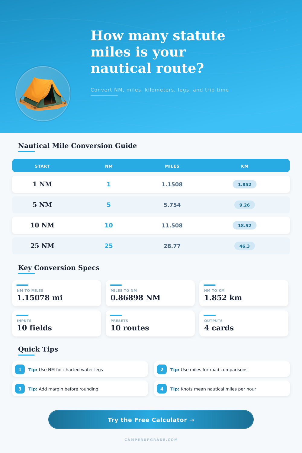
| 1 NM | 1.1508 mi | 1.852 km | 6,076 ft |
| 3 NM | 3.4523 mi | 5.556 km | 18,228 ft |
| 5 NM | 5.7539 mi | 9.260 km | 30,381 ft |
| 10 NM | 11.5078 mi | 18.520 km | 60,761 ft |
| 25 NM | 28.7695 mi | 46.300 km | 151,903 ft |
| Statute | Nautical | Kilometers | Use |
|---|---|---|---|
| 1 mi | 0.8690 NM | 1.609 km | Road sign |
| 10 mi | 8.6898 NM | 16.09 km | Short drive |
| 50 mi | 43.4488 NM | 80.47 km | Long detour |
| 100 mi | 86.8976 NM | 160.93 km | Delivery leg |
| 250 mi | 217.244 NM | 402.34 km | Extended route |
| Knots | MPH | 10 NM Time | 25 NM Time |
|---|---|---|---|
| 4 kt | 4.60 mph | 2 h 30 m | 6 h 15 m |
| 6 kt | 6.90 mph | 1 h 40 m | 4 h 10 m |
| 8 kt | 9.21 mph | 1 h 15 m | 3 h 08 m |
| 15 kt | 17.26 mph | 0 h 40 m | 1 h 40 m |
| 25 kt | 28.77 mph | 0 h 24 m | 1 h 00 m |
| Route Type | Chart NM | With Margin | Statute Mi |
|---|---|---|---|
| Marina hop | 6 NM | 6.3 NM | 7.25 mi |
| Bay crossing | 14 NM | 14.7 NM | 16.92 mi |
| Day sail | 22 NM | 23.1 NM | 26.58 mi |
| Coastal leg | 48 NM | 50.4 NM | 58.00 mi |
| Offshore hop | 120 NM | 126 NM | 144.998 mi |
💡Conversion Tips
After looking at a fuel receipt, a chart, and standing on a dock, you are still wondering why it took so much longer to sail to your destination then it did just to get there. It’s your units. But not your eyes. On land we use statute miles; out on the water we use nautical miles. That is why we do. For navigating, it’s all very elegant geometry. A nautical mile are always one minute of latitude. Plotting a course is easy on any digital screen or even on piece of paper.
And yet, how many gallons of gas should you plan on buying? How far ahead will it be before your support vehicle meet up with you at next marina? That’s when terrestrial reality collides with that elegant geometry. We’ve done the math for converting, but we’ve also simplified it for you with the calculator up top. Instead of crunching numbers in head, you can plan your route: simple, right? By using exact conversions with specific factors, the calculator links driving on land to sailing on water. It take real world considerations such as tacking and current into account.
Why Nautical Miles Are Different from Land Miles
For example, the conversion factor at the heart of all this is 1.1508. That’s why each nautical mile expand roughly to one and a half statute miles. When attempting to ballpark distance in their heads, most folks misses this. The number seems small and they don’t realize that those nautical mile will stretch out considerably on land.
The power of the calculator lies beyond ratios. You aren’t just plugging into a formula and recieve a dry answer; you’re simulating real world conditions. Enter the distance you want to travel and set your margin for routing. Then, toggle between trip modes. A 5% margin means you’ll tack slightly right or left, or make light traffic adjustments. 12% allows for significant detours past shallow reefs or around shipping lane. These are NOT random estimates but practical margins that allow you to reach your destination without running out of gas or making an arrival during dinner time rather than lunchtime.
Adding speed inputs refines the picture further, turning distance into time. A knot is a measure of speed: one nautical mile per hour. So by entering your boat’s speed, the tool can converts the nautical mile value directly into elapsed time, without forcing you to make a frequent error: Miles to kilometers. You might also be trying to use a different speed different than what you logged on your chart. The relationships between the two is spelled out neatly in a reference table on page. It will show you how a ten-mile leg change in duration based off whether you’re cruising at four knots or pushing eight. Small thing, but when you’re planning for fuel stops it matter.
Another layer of realism come with splitting the route into legs. Instead of just one A-to-B dash, most day sail have several way points. Divide the total adjusted distance by number of legs to visualize how much each leg will contribute to the effort. That’s especially useful on offshore hops when fuel management and fatigue are greater concerns than average speed. It also calculates how long your water time would last as an equivalent road trip. That connects the abstract nautical distance to something you’re already familiar with.
An hour or so should of get me fifty miles if I’m driving at fifty-five miles per hour. But it could take me four hours to sail thirty nautical mile because of current resistance and wind angle. These are distinctions that make sense when you’re not making a common planning mistake: considering water as if it were paved. A nautical mile isn’t some abstract unit of measure; it’s a product of earth’s surface. How we get there depends on water (and air) friction. That’s why you round up from where you land after adding some buffer. You’ll never run out of gas while you have a bit more than ten percent in your tank. Better to coast in a little heavy than be pulled off-course by a tow truck for betting your life on a random number from this or that conversion.
The math is precise; the judgement comes from you on how conservatively to plot your way. The bottom line: converting units doesn’t have as much to do with memorizing conversion factors as it has to do with understanding the medium in which you’re traveling. Asphalt isn’t water and water fights back, plan for that and accept the additional mileage of nautical miles on dry ground. Whether you’re making an offshore run or crossing a bay, understanding precisely how far your course spans in statute miles helps connect your marine plans with your land life. Begin by placing a pin on the chart and finish by pulling up to the pump with a full tank, all because you did some simple math right the first time.