Azimuth Calculator
Compute true, magnetic, and grid azimuths from coordinates, then check back azimuth, distance, and correction logic in one place.
🧭Route Scenario Presets
⚙Azimuth Inputs
📊Comparison and Spec Grid
📐Bearing Reference Tables
| Reference | Use | Formula | Result |
|---|---|---|---|
| True | Map and globe | atan2 path | 0-360 deg |
| Magnetic | Compass work | True minus decl. | East/W sign |
| Grid | Map grid math | True minus conv. | Zone aligned |
| Back | Return leg | True plus 180 | Opposite dir |
| Cardinal | Range | Mil Range | Notes |
|---|---|---|---|
| N | 337.5-22.5 | 0-400 | Wraps north |
| NE | 22.5-67.5 | 400-1200 | Quarter turn |
| E | 67.5-112.5 | 1200-2000 | Right side |
| S | 157.5-202.5 | 2800-3600 | South sector |
| Sign | Declination | Convergence | Effect |
|---|---|---|---|
| E | + value | + value | Add to true |
| W | - value | - value | Subtracts |
| Mix | E only | W only | Separate math |
| Check | Map note | Zone note | Verify source |
| Angle | Degrees | NATO Mils | Compass Word |
|---|---|---|---|
| North | 000 | 0000 | N |
| East | 090 | 1600 | E |
| South | 180 | 3200 | S |
| West | 270 | 4800 | W |
📖Reference Tips
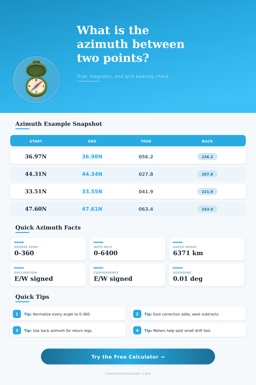
An azimuth is an angle that is measured in degrees clockwise from true north to the target object. Azimuth is use to determine the direction from where a person is to the object that is being target. Azimuth is a measurement of direction, and it is an essential tool for navigation because error in direction will translate to increasing errors in the distance traveled by an individual.
There is three types of azimuths: true, magnetic, and grid azimuths. A true azimuth measures the angle of an object directly from the Earth’s curvature, and true azimuth reading dont include the interference that the Earths magnetic field cause. To calculate a true azimuth, a person can use a calculator to input the starting and end latitudes and longitudes of the target object.
Azimuth: What It Is and How to Find It
A magnetic azimuth is similar to the true azimuth but include the declination of the Earths magnetic field. If the declination are east, the person adds the true azimuth to the declination. If the declination is west, the person subtracts the true azimuth from the declination to determine the magnetic azimuth of the object.
A grid azimuth is used for projected maps, such as a UTM zone map. In this instance, the map’s lines of longitude and latitude converges, hence the term convergence. The grid azimuth calculation take into account the convergence of the map projections so that the lines on the map matches the actual direction of the objects on the Earths surface.
A person can use a tool that calculates azimuths for true, magnetic, or grid azimuths by choosing the type of azimuth to calculating. A back azimuth is use for return trips to the starting location. To calculate the back azimuth of a true azimuth, the person can add the true azimuth value to 180 degree.
The back azimuth will be incorrect if it is not normalized to the 0-degree to 360-degree range of azimuths. For instance, a back azimuth of 350 degree will not have a value of 530 degrees but will have a value of 170 degrees when normalized to the 0-degree to 360-degree range of numbers. Azimuth error can cause a person to miss their target by a significant distance.
For instance, an azimuth error of 2.5 degree for a 5-kilometer trip will cause a person to be 200 meters from there destination. This error is refer to as the cross-track error. Tools that calculate azimuths will also calculate the cross-track error so that an individual is aware of how many meter they will be off there intended path.
Individuals can make azimuth calculation error if they use the wrong type of azimuth for the task at hand. For instance, magnetic azimuths should not be used for plotting a path on a map. Instead, individuals should use true azimuths to plot a path on a map.
Individuals who use a compass will use the magnetic azimuth. Individuals who are using maps that use projected coordinates should use the grid azimuth. Tables can be used to ensure that the cardinal direction are used correctly.
For instance, north is from 337.5 degrees to 22.5 degrees. The calculation of the azimuth use the haversine formula to calculate the distance between two latitudes and longitudes on the sphere of the Earth. The tool will provide the distance in kilometer and the angle of the azimuth in degree.
That distance can also be displayed in NATO mils, where 1/360 of a circle is 6400 mils instead of 360 degrees. The value can be rounded to 0.01 degree for the most precise calculation or rounded to the nearest whole degree. An azimuth calculator tool can account for declination and the convergence of the map projections so that the individual has accurate calculations for there journey.
Actualy, the tool provides alot of help with the math and it could of been more difficult without it.