Altitude Temperature Calculator
Model mountain temperature change, ISA offset, wind feel, and density altitude for hikes, passes, camps, and high-country travel.
🏔Quick Scenario Presets
⚙Temperature Inputs
📊Comparison / Spec Grid
📘Reference Tables
| Altitude band | Std temp F | Std temp C | Notes |
|---|---|---|---|
| Sea level | 59.0 F | 15.0 C | ISA start |
| 1,000 ft | 55.4 F | 13.0 C | Small drop |
| 5,000 ft | 41.4 F | 5.2 C | Cooler air |
| 10,000 ft | 23.8 F | -4.6 C | Thin mountain air |
| Lapse preset | Imperial rate | Metric rate | Use case |
|---|---|---|---|
| Standard | 3.6 F/1k ft | 6.5 C/1k m | ISA check |
| Cool day | 4.0 F/1k ft | 7.2 C/1k m | Dry alpine air |
| Warm day | 3.0 F/1k ft | 5.4 C/1k m | Stable valley air |
| Custom | User set | User set | Local forecast |
| Pressure setting | Density effect | Pressure altitude | Quick read |
|---|---|---|---|
| 29.92 inHg | Neutral | Same as field | Std day |
| 29.70 inHg | Slight rise | About +220 ft | Light change |
| 29.40 inHg | Higher DA | About +520 ft | Warm ridge |
| 29.00 inHg | Much higher | About +920 ft | Thin feel |
| Scenario | Base to target | Temp shift | Planning note |
|---|---|---|---|
| Trailhead to ridge | 1,000 to 4,000 ft | About -10.8 F | Dress in layers |
| Base camp to pass | 2,000 to 8,000 ft | About -21.6 F | Sun still helps |
| Valley to summit | 600 to 10,000 ft | About -33 F | Wind matters more |
| Morning to noon | Same altitude | About +5 to +15 F | Solar gain rises |
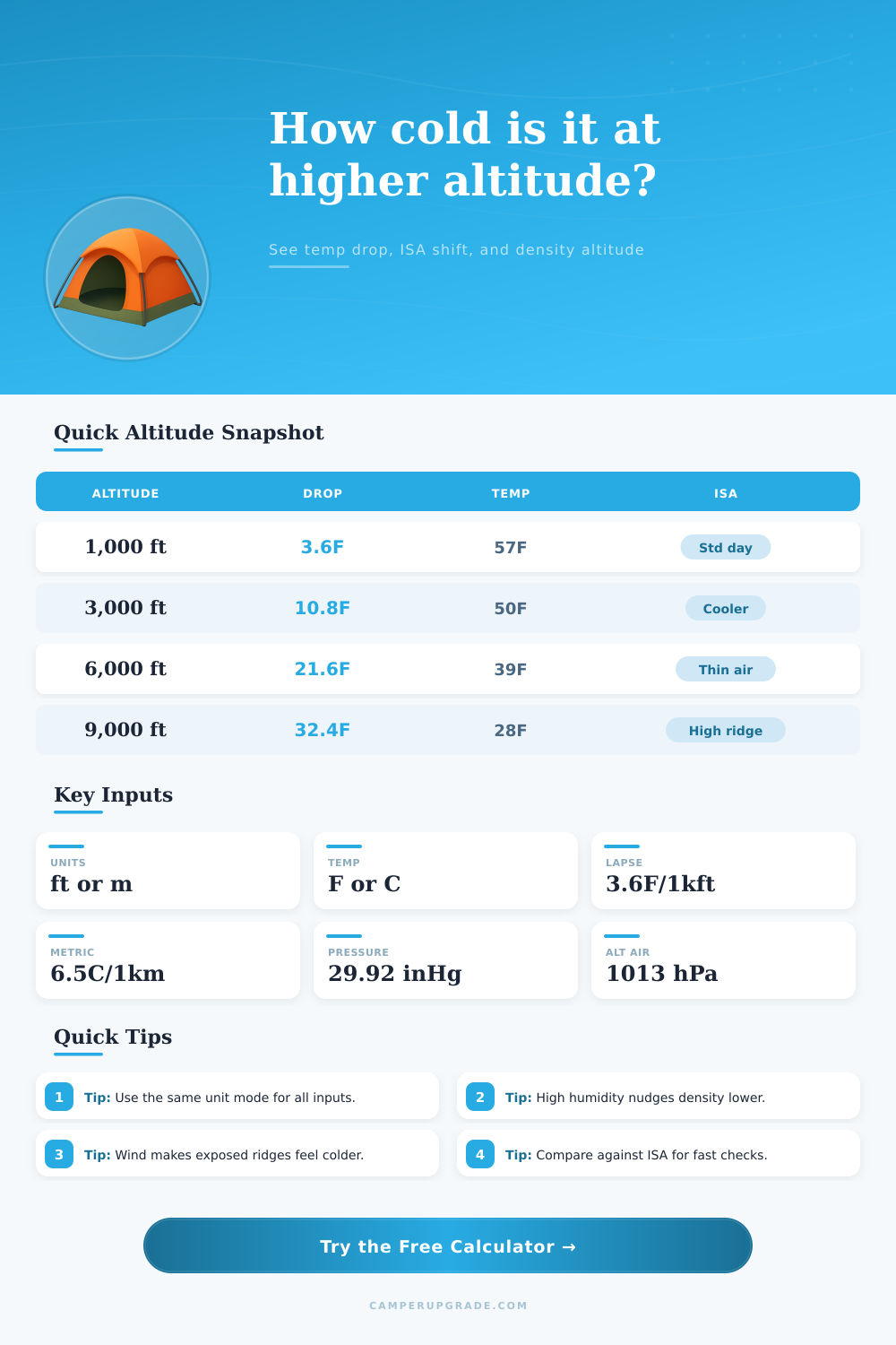
The temperature decrease as the altitude increases due to a thinner air pressure at higher altitude. With the decrease in air pressure, there is fewer air molecules to retain heat for those at higher elevations. The standard drop in temperature with altitude are 3.6 degrees F for every 1,000 feet of elevation gain.
This standard measurement is known as an International Standard Atmosphere (ISA) conditions, which state that the standard air temperature at sea level is 59 degrees F, and that the temperature drop at a consistent rate with altitude. Local weather conditions can negate these factors. Humidity and air pressure impacts how people feel the temperature and the amount of oxygen in the air.
Why It Gets Colder When You Climb
Low air pressure make it feel like it is higher altitude than the person is actually climbing to. Humidity has an impact on density altitude, which is a measurement of how high the air feel based off temperature, air pressure, and moisture in the air. High density altitude mean that there is less oxygen in the air that can be breath, and people will feel tired more quick when at high density altitudes.
Additionally, the engine of vehicles will perform less efficient at high density altitudes. The lapse rates for the temperature drop with altitude can range depending on the weather conditions. For instance, a lapse rate of 3.6 degrees F for every 1,000 feet of elevation gain is standard, but on a dry mountain day the lapse rate may be 4 degree F per 1,000 feet of elevation gain.
Conversely, on a warm day when the weather at the base of an altitude is warmer than standard, the lapse rate may be only 3 degree F per 1,000 feet of elevation gain. Finally, wind will impact how human feel the temperature of the air. For instance, a temperature of 30 degrees F may feel much colder if there is a 15-mile per hour wind.
When hiking to the higher elevations of an area, it is important to consider the difference in temperature between where an individual start hiking (trailhead) versus where they are headed to. The temperature difference should be calculated from the base of the hike to the summit. For instance, if an individual plan to hike up 4,000 feet, the temperature will be approximately 14 degrees F colder than the trailhead.
Additionally, the temperature will feel even colder due to the loss of exposure to the sun and the blocking of that sunlight by any cloud that may be in the area during the hike. To plan a hike and to determine the temperature that will be felt at the destination, you should first check the weather at the base of the hike. After finding the temperature at the base of the hike, it is important to calculate the drop in temperature based upon the elevation of the hiking destination.
After finding that drop in temperature, it is possible to adjust the hike based upon the wind speed and the humidity in the area. By calculating these variable in planning for the hike, an individual will be certain to have the proper clothing and supply for the high altitudes that will be encountered.