Descent Pace Calculator
Estimate downhill hiking time from route length, elevation loss, grade, footing, pack load, group speed, rests, and daylight margin.
🧭Named Route Presets
⚙Route Inputs
📊Descent Factor Grid
🔢Formula Cards
grade percent = elevation loss / (distance miles x 5,280) x 100
moving pace = base pace x grade factor x terrain x surface x load x group x support
moving time = higher of horizontal pace time or elevation loss / descent rate
total time = moving time + planned rests + caution pauses + safety buffer
🗺Grade And Pace Reference
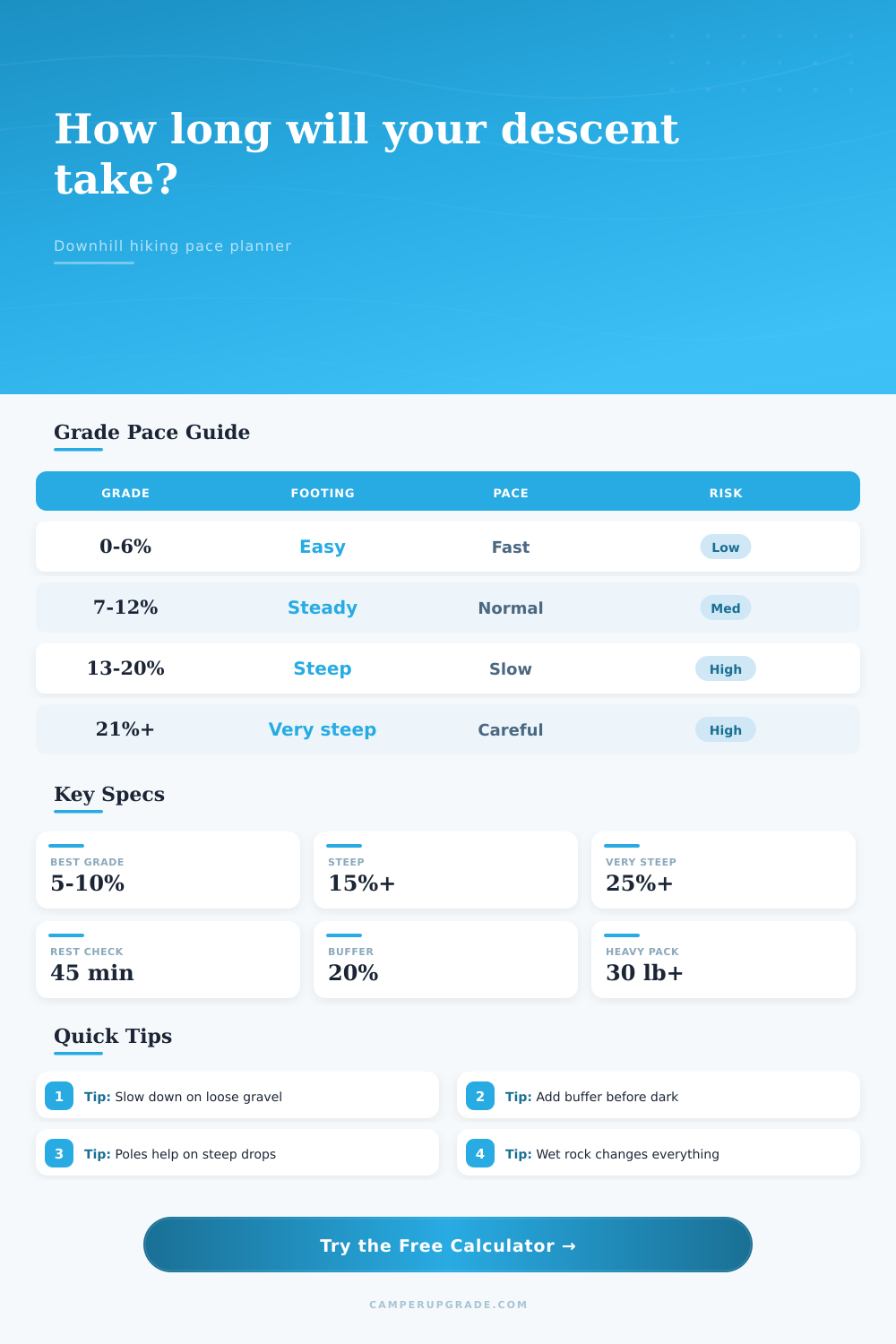
| Average Descent Grade | Typical Feel | Base Pace Effect | Vertical Rate Check |
|---|---|---|---|
| 0 to 5 percent | Gentle rail trail or valley path | Usually faster than flat walking | 800 to 1,200 ft/hr |
| 6 to 10 percent | Comfortable downhill trail | Efficient for many hikers | 1,200 to 1,800 ft/hr |
| 11 to 15 percent | Steady mountain descent | Foot placement starts to limit speed | 1,500 to 2,200 ft/hr |
| 16 to 25 percent | Steep switchbacks or steps | Braking and knees slow the pace | 1,200 to 2,000 ft/hr |
| Over 25 percent | Very steep, rough, or exposed | Control matters more than speed | 800 to 1,600 ft/hr |
🥾Terrain And Footing Modifiers
| Condition | Calculator Factor | Why It Matters | Use When |
|---|---|---|---|
| Smooth maintained path | 0.92x | Even footing allows a natural stride | Wide park trails, graded paths |
| Maintained switchbacks | 1.00x | Normal descent rhythm with turns | Most built hiking trails |
| Rocky mountain trail | 1.18x | Step choice limits stride length | Boulder steps, talus edges |
| Loose scree or gravel | 1.33x | Sliding risk requires shorter steps | Volcanic slopes, dry gravel |
| Stone steps or ladders | 1.28x | Cadence is limited by step height | Built stair trails, ladders |
| Firm snow or wet roots | 1.45x | Grip changes quickly underfoot | Spring snow, wet forest routes |
| Hands-needed scramble | 1.65x | Movement becomes route-by-route | Class 2 or light class 3 terrain |
| Off-trail descent | 1.55x | Navigation and obstacles add time | Bushwhacks, unmarked gullies |
🎒Load, Group, And Support Factors
| Input | Low Impact | Moderate Impact | High Impact |
|---|---|---|---|
| Pack weight | Under 12 lb, 1.00x | 12 to 30 lb, up to 1.10x | Over 30 lb, up to 1.24x |
| Group pace | Solo or matched pair, 1.00x | Small steady group, 1.05x | Family or careful group, 1.24x |
| Trekking poles | Two poles, 0.95x | One pole, 0.98x | No poles, 1.03x |
| Surface | Dry trail, 1.00x | Dusty gravel, 1.10x | Ice, wet rock, or darkness, 1.35x+ |
🏔Named Descent Preset Reference
| Preset | Approx Distance | Approx Loss | Default Conditions |
|---|---|---|---|
| Yosemite Four Mile Trail | 4.8 mi | 3,200 ft | Maintained switchbacks, dry |
| Grand Canyon South Kaibab | 7.0 mi | 4,780 ft | Dry steps and switchbacks |
| Half Dome Return | 8.2 mi | 4,800 ft | Rocky trail, mixed group |
| Mount Whitney Exit | 10.7 mi | 6,140 ft | Rocky switchbacks, heavy pack |
| Angels Landing Return | 2.5 mi | 1,500 ft | Stone steps, careful group |
| Ben Nevis Mountain Track | 5.3 mi | 4,400 ft | Rocky, wet option |
| Snowdon Llanberis Path | 4.5 mi | 3,190 ft | Maintained mountain path |
| Franconia Ridge Descent | 3.2 mi | 3,000 ft | Wet roots and rocks |
| Dead Woman's Pass Descent | 3.7 mi | 2,150 ft | Stone steps, altitude fatigue |
| Katahdin Hunt Trail | 5.2 mi | 4,150 ft | Scramble sections, rough trail |
💡Descent Planning Tips
Summits are typically the best part of any day on trail: The view is worth it. But descent is something else entirely. Gravity pulls you forward and your knees tries to slow you down. You might have powered up the mountain with ease, but coming down is a different beast entireley. Trips come undone during descent as terrain call for skill over brawn. Knowing how much (and why) you’re moving will help you tackle the 3k feet of switchbacks that lie ahead.
Many hikers think their pace going downhill will be quicker then uphill, which isn’t naturaly how it works out. You don’t have to guess any numbers; just plug in your trip info and calculator does the math. It takes into account that wet roots can alters everything while loose scree can alter everything else. What you cruise on a smooth section may require careful shuffle on dusty gravel of the same grade.
Why Walking Downhill Is Harder Than You Think
We see this mistake all too often as folks estimate how the trail will be at noon instead of mud fest they’ll find at dusk. Your true pace is determined by information the tool requires, so put in the specifics. Distance plays less of a role here than terrain type. Walking along a rocky mountain trail require constant vigilance and makes your cadence slow down even further (particularly if you’re wearing heavy pack). The momentum also changes; weight pulls you forward and you can’t really lean into it as you would with a lighter daypack.” It is a slight adjustment, but one that takes into account the extra work needed to keep yourself from falling face-first on technical parts of the trail. When you’ve got a sun setting time to make, every ounce counts.
Surprisingly, your speed is also influenced by other people. If you hike alone, you can go at your own pace naturaly, but when you have a mix of paces you are going to stop and wait sometimes for others. Your estimate takes that into account which is why it’s based off the slowest person (not the fastest). Also, if you use trekking poles, you’ll get credit for them since they offers more stability on steep grades during descent. It will recognize the increase in efficiency from this tool and give you credit for lessening impact on your joints. It is not all about gear, though! It’s about way your gear changes how your body moves downhill.
The last deadline is always light. Perhaps most importantly, this planning tool gives you a safety buffer. Add an extra 15-20% to your planned time, allowing for the inevitable slow down. Fatigue sets in, knees get sore, and concentration wanes, meaning the final third of a descent is almost always slower than the first. Having that buffer allows you to avoid scrambling in the dark after your headlamp dies. What could of been a crisis is now simply a pause.
And best of all, there are preset routes for popular trails such as Half Dome or Yosemite so that you have a starting point for what experienced hikers think it should take. But every trip is different; maybe it’s raining and the ground is still wet with morning dew, or perhaps you’re more cautious than average on steep descents. You can adjust these variables to fit how things realy go down. It doesn’t spit out a number but rather shows you where to make compromises in terms of going fast versus safe.
The tool also breaks out pace based off grade. For example, a gradual pitch is manageable while something steeper will have your descent speed drastically decreases. At that point it’s not walking, it’s managing a fall. Knowing this beforehand makes it easier to manage expectations and avoid getting frustrated if you miss your shuttle bus.
In the end, descending is all about honoring the mountain. The tools provides the data, but you provide the judgment. Go out early enough so you’ll never be on it after dark and make sure you watch where you step. Get to the top, yes, but get down alive and well, that’s the win. With a padded schedule and a clear mind, descent will be a controlled stroll back to the start of the trail.