Drone Range Distance Calculator
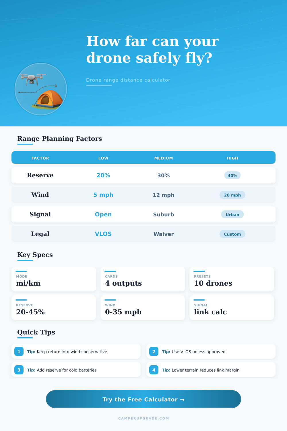
Estimate a realistic one-way drone range from advertised distance, link margin, legal/VLOS limit, terrain clutter, wind return penalty, battery reserve, and return-to-home safety margin.
🛸Real Drone Presets
Range Planning Snapshot
| Constraint | Calculated Range | Formula | Status |
|---|
📶Range, Link, Wind, and Legal Inputs
📊Drone Spec Comparison Grid
🗺Reference Tables
| Signal Setting | Best Use | Link Adjustment | Range Effect |
|---|---|---|---|
| Auto dual band | Most trips | 0 dB | Baseline |
| 2.4 GHz | Open distance | +2 dB | Longer reach |
| 5.8 GHz | Clean short routes | -3 dB | More fade |
| High-gain aim | Static pilot point | +4 dB | Better margin |
| Noisy channel | Busy RF area | -6 dB | Shorter reach |
| Terrain Profile | Typical Penalty | Reason | Planning Use |
|---|---|---|---|
| Flat open line | 0 dB | Clear Fresnel zone | Baseline |
| Rolling hills | -4 dB | Partial terrain masking | Reduce range |
| Tree line route | -7 dB | Leaves absorb RF | Keep closer |
| Canyon or ridge | -11 dB | Blocked line of sight | Very conservative |
| Low behind objects | -12 dB | Controller path blocked | Stay nearby |
| Wind Case | Outbound Energy | Return Energy | Range Impact |
|---|---|---|---|
| Calm | 1.00x | 1.00x | Nominal |
| Headwind outbound | Higher | Lower | Return easier |
| Tailwind outbound | Lower | Higher | Riskier return |
| Crosswind | Moderate | Moderate | Both legs lose |
| Gusty variable | Higher | Higher | Conservative |
| Reserve Level | Use Case | Distance Share Held | Comment |
|---|---|---|---|
| 20% | Open, close pilot | 1/5 of range | Minimum buffer |
| 30% | Normal campsite use | Nearly 1/3 | Balanced |
| 40% | Wind or cold | 2/5 of range | Safer return |
| 45%+ | Emergency or mountains | Almost half | High reserve |
💡Range Planning Tips
With your controller in one hand and the other gripping the drones handle, you’re standing atop a ridge, looking over stunning scenery and thinking “I must go there.” Your brain want to go. Your heart says go. Your fingers twitch impatiently. But the little battery icon on the screen remain at 70 percent.
The radio connection from the device to you doesn’t know how awesome the vista is nor does it care about your ego. It just knows physics and interference. It also knows if you have enough power to return against a stiff headwind that you didn’t notice on the way out.
How to Fly Your Drone Safely
This is advertised range. Manufacturers test their machines with zero wind, perfectly clear lines of sight, and a horizon as far as the eye can see. This isn’t how most of us fly our aircraft. We do so behind trees, from parking lots or near a Wi-Fi router that devours signal bandwidth like a woodchipper. There is often a gap between what spec sheet says and what happens during an actual Tuesday evening flight, leading to crashes.
That’s why this tool (above) help fill in the gap: it forces you to face up to constraints before takeoff. It does more than just consider battery life. It considers the legal limit, which is frequently far less then what the radio allows anyway. There are visual line-of-sight rules for a reason. And regardless of how nice the video stream appears on your screen, if you cannot see drone then you’ve lost your situational awareness. By keeping it in visual range, you know where there might be something in the way that the onboard sensors could misses or misunderstand.
That is where people go astray. They believe too strongly in digital map rather than their own eyeballs. There is another hidden tax on your battery. There’s the wind factor. On the return leg, that wind you’re flying out against becomes a headwind, and when you’re fighting it inch by inch, it pulls more power then you expect. If you only take into account distance when planning your outbound route, you’ll be running on empty by the time you get home. Treat an outbound tailwind as a red flag; save yourself some reserve because return trip will be tougher.
The other big factor is terrain. Yes, I know, the sky is blue, so… Except the trees. Trees not only block signals, but they also absorbs them. Additionally, flying into or next to a tree blocks the Fresnel zone. This is an oval-shaped area surrounding the direct path between a transmitter and receiver that must be clear of obstacles to ensure a reliable signal. You may visually see the UAV but the signal may have bounced off a ridge, gotten weaker at each hop and faded into non-existence. And while the layout provide reference tables to illustrate this, it shows you that urban clutter (or even more dense foliage) will gobble up your link margin in the blink of an eye. It is small, but significant.
Battery health is another silent killer. Old batteries don’t hold as much charge. They perform worse in cold weather. If you’re flying in the winter, be aware that your effective range is much less then it would be on a summer afternoon. Reserving some power for an emergency isn’t paranoid; it’s accounting for reality. You don’t want to run out of power mid-air and have to worry about landing safely, hovering for a minute to figure out what’s going on, etc.
That way, instead of converting and guessing at those coefficients, the calculator does all that math for you when you enter the details of your own conditions. You tell it your wind situation, your surroundings, and your legal limits. Then it tells you what you can realistically do. Not what’s possible. What is realy safe. And it may disappoint you. Maybe your desired flight range will be cut in half. Well, good. That means a safer flight. It will be a shorter flight, but one that brings you back down to earth alive.
That’s always better than the heroic tale of how far you managed to go before losing signal. If you’re not sure where to begin… Use the presets. They’ll provide you a starting point in most common situations: suburban backyards, open ridges and so on. But then don’t stop there. Dial in the numbers according to your real-world conditions. Windy? Turn that dial up. Old batteries? Bump up the reserve.
Remember, range is not about getting farther; it’s about reducing risk. Start thinking of range like a budget instead of something to break through, and that’s when you start flying differently. You becomes more deliberate. You start respecting the environment (and your equipment). And you go home with your drone, intact, ready for another day.
That’s the only metric that realy matters.