Map Scale Ground Coverage Calculator
Convert real map scales into ground distance, map distance, sheet coverage, area, grid square counts, route corridor area, and margin-adjusted printable map coverage.
🗺Real Map Scale Presets
⚙Scale, Distance, Sheet, Grid, and Route Inputs
📐Map Coverage Spec Grid
📊Map Scale Reference Tables
| Map Scale | 1 cm Equals | 1 in Equals | Common Use |
|---|---|---|---|
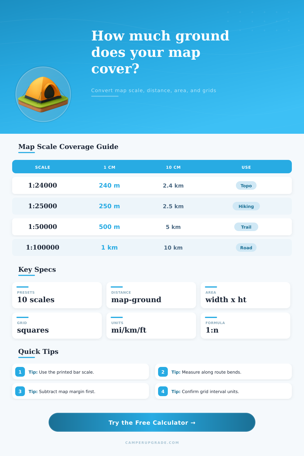
| 1:24,000 | 240 m | 2,000 ft | USGS topo and detailed trail planning |
| 1:25,000 | 250 m | 635 m | Detailed hiking and field navigation |
| 1:40,000 | 400 m | 1.02 km | Compact recreation trail maps |
| 1:50,000 | 500 m | 1.27 km | Regional hiking and landranger maps |
| 1:63,360 | 633.6 m | 1 mi | One inch to one mile sheets |
| Task | Formula | Example | Result |
|---|---|---|---|
| Ground distance | map distance x n | 8.5 cm at 1:24,000 | 2.04 km |
| Map distance | ground distance / n | 5 km at 1:50,000 | 10 cm |
| Map coverage | width x height x n | 20 x 28 cm at 1:25,000 | 5 x 7 km |
| Grid squares | coverage area / grid area | 30 sq km / 1 sq km | 30 squares |
| Grid Interval | On 1:24,000 | On 1:25,000 | On 1:50,000 |
|---|---|---|---|
| 1 km grid | 4.17 cm | 4.00 cm | 2.00 cm |
| 500 m grid | 2.08 cm | 2.00 cm | 1.00 cm |
| 1 mile grid | 2.64 in | 2.53 in | 1.27 in |
| 5 km grid | 20.83 cm | 20.00 cm | 10.00 cm |
| Map Sheet | Scale | Usable Size | Ground Coverage |
|---|---|---|---|
| Phone screenshot | 1:24,000 | 10 x 16 cm | 2.4 x 3.8 km |
| Letter print | 1:25,000 | 18 x 24 cm | 4.5 x 6.0 km |
| A4 print | 1:50,000 | 19 x 27 cm | 9.5 x 13.5 km |
| Large field sheet | 1:100,000 | 40 x 60 cm | 40 x 60 km |
💡Two Practical Map Scale Tips
Map scale is a ratio of the measurement on the map to the measurement on the ground. Map scale determine how much ground is represented by the map and dictates that the distance measured on the map will be the same as the distance that an individual walk on the ground. To understand map scale is to understand how much real ground is represented by the map.
Without an understanding of map scale, an individual will be unable to properly measure the distance that a route will take. Map scale use a process of multiplication to determine the relationship between map measurements and ground measurements. For instance, using the example of a map with a scale of 1:100,000 means that one unit on the map will represent 100,000 of those same unit on the ground.
Map Scale and How to Use the Map Calculator
If the scale are changed, the measurements represented by the map will change as well. Many maps with small scale will show that the route to be traveled is short, yet the actual distance that an individual will travel on the ground will be longer on maps with larger scale. The calculator that is provided can help with the measurements for various process.
The calculator will allow a user to enter the distance that is measured on the map. The calculator will use the map scale to provide the distance on the ground. The user can also enter the scale and the unit for the ground distance that the user prefers.
The calculator will provide that distance. Furthermore, the calculator can calculate the map measurements. If the user enters the ground distance that they wish to travel, the calculator will provide the measurement that the user should make on the map.
This calculator will help the individual avoid making errors when they calculate these distance in their heads. The coverage area for maps is the total amount of ground that the map represents. The coverage area can be calculated with only two measurement.
The width and the height of the map sheet can be used to calculate the total area of the ground that the map represents. The calculator will allow the user to multiply the width of the map sheet by the scale of the map in relation to the ground, and the height of the map sheet by the scale to the ground to determine the area of the ground that the map represents. This function of the calculator is helpful for individuals that would like to print the maps to cover a specific area.
Using the overlap settings on the map will ensure that strip of paper will not be left uncovered when the map sheets are printed. Grid square are divided on most maps. The calculator allows the user to input the length of one grid square on the map, and it will calculate the distance for the ground.
The calculator will allow the user to calculate the number of grid square on the map that are usable for that specific area. This function is helpful for determining how many grid square can be used to divide the terrain into smaller sections for team assignment. Route corridors are strip of the ground.
The calculator allows the user to calculate the total area for the route that will be used on the ground. The length of the route is multiplied by the width of the corridor to determine the area in strips of the ground that will be inspected for specific factor. This computation is helpful for determining if the route will be on one map sheet or if it will extend onto a second map sheet.
The reference table will show the different scale for maps and map sheets. The reference tables will show the distances for the scales and the ground rectangle for map sheets when the margins are removed. These table are not rules for maps, but they are starting point for individuals to compare maps to one another.
A common mistake on maps is to believe that the scale of the map is the exact same when a map is resized. Maps that have been resized will have changed scale. The bar scale for the map will still remain in line with the map, however.
Therefore, the measurements for the bar scale should of been taken and used in place of the map scale on the calculator. An oversight with maps is to not account for the usable area of the map. The usable area is smaller than the total area due to the margins for titles, legends, and maps for binding maps.
The margin for the edge of the map can be entered into the calculator to determine the area of the map that can be used for specific ground area. This will ensure that legends and titles that are on the map are not taking up the area that is to be represented by the map. Map scale provide individuals with the fact regarding the area that is represented by the map.
However, map scale does not factor in the terrain for that area. Steep slope will create distances that is longer than what is represented on the map. Vegetation and terrain can also factor into the distance and travel speed off the scale of the map.
The calculator provides spatial fact for maps, but individuals must use their judgment to account for terrain and weather condition. Using the reference tables and the map calculator allows individuals to determine how much ground will be displayed on one map sheet.