Dead Reckoning Calculator
Estimate next position from heading, speed, elapsed time, and drift for off-grid route control between confirmed fixes.
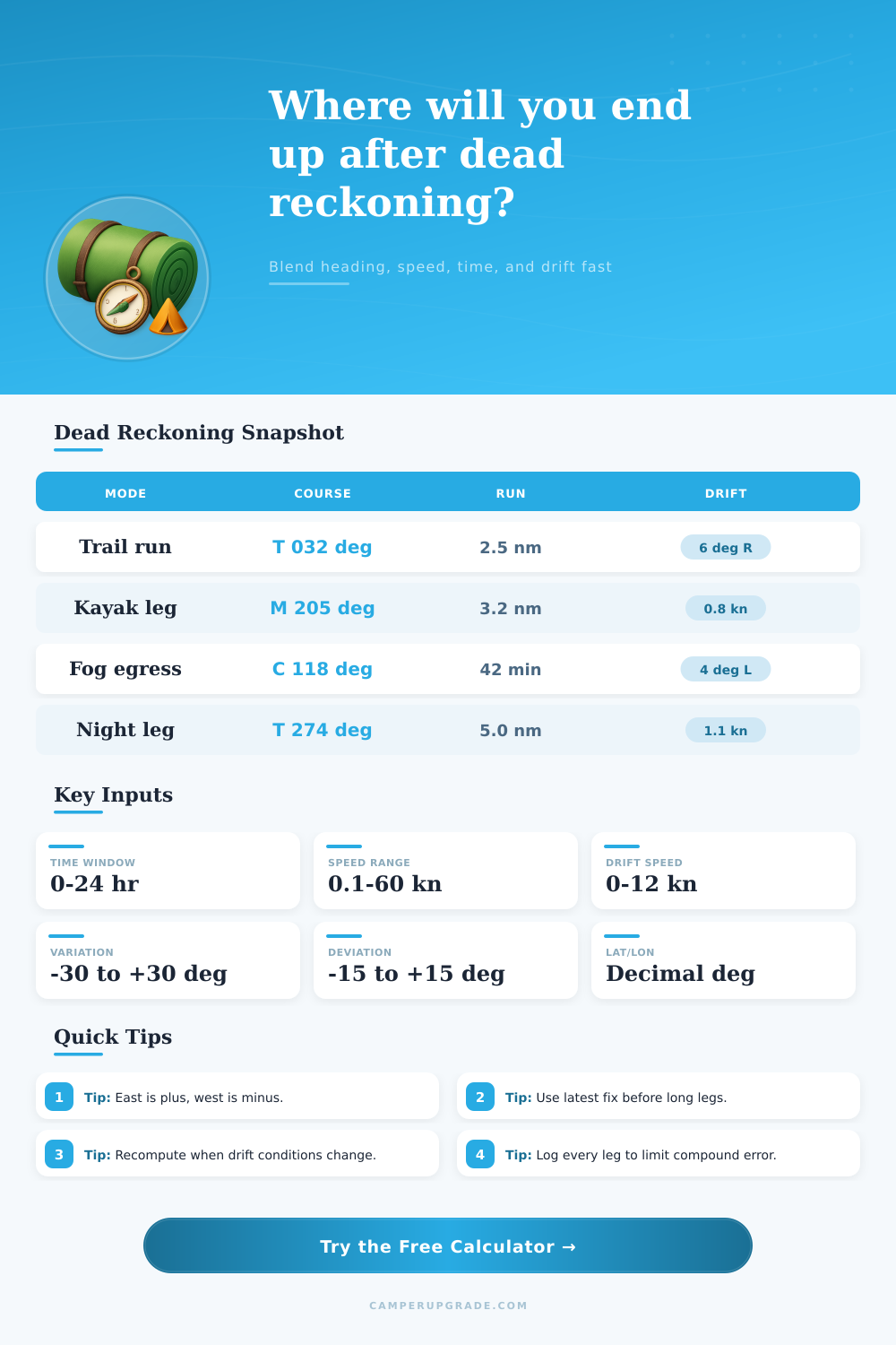
🛶️Scenario Presets
⚙Route Inputs
📊Navigation Constants Grid
📘Dead Reckoning Reference Tables
| Input Type | Formula To True | Formula To Magnetic | Formula To Compass |
|---|---|---|---|
| True heading entered | Htrue = Entered | Hmag = Htrue - Var | Hcomp = Hmag - Dev |
| Magnetic heading entered | Htrue = Entered + Var | Hmag = Entered | Hcomp = Hmag - Dev |
| Compass heading entered | Htrue = Entered + Var + Dev | Hmag = Entered + Dev | Hcomp = Entered |
| Sign convention | East positive | West negative | Normalize 0-360 |
| Cross Current / Speed | Approx Drift Angle | Interpretation | Action |
|---|---|---|---|
| 0.05 | 2.9 deg | Minor slip | Monitor only |
| 0.10 | 5.7 deg | Visible drift | Add correction |
| 0.20 | 11.5 deg | Strong set | Apply crab heading |
| 0.35 | 20.5 deg | High lateral push | Shorten fix interval |
| > 0.50 | > 30 deg | High miss risk | Reduce leg length |
| Speed | 30 min | 60 min | 90 min |
|---|---|---|---|
| 2 kn | 1.0 nm | 2.0 nm | 3.0 nm |
| 3 kn | 1.5 nm | 3.0 nm | 4.5 nm |
| 4 kn | 2.0 nm | 4.0 nm | 6.0 nm |
| 5 kn | 2.5 nm | 5.0 nm | 7.5 nm |
| 6 kn | 3.0 nm | 6.0 nm | 9.0 nm |
Dead reckoning is an method of navigation that you use in the event that electronic navigation tools is unavailable. Dead reckoning can be used in the event that your GPS fail or if you are navigating in thick fog. To use dead reckoning, you must know your starting position, your heading, and your speed.
Dead reckoning is, therefore, a mathematical process in that it require you to calculate your distance based off your time and speed. In order to perform dead reckoning effective, you must account for the various environmental factor that could affect your travel. For instance, currents can change the actual path of your boat, especially if you are travelling long distance.
How to Use Dead Reckoning
Currents are the movement of water that can push your boat sideways. Additionally, leeway is another environmental factor that can change your travel path. Leeway is the movement of your boat sideways due to the wind.
If you do not account for these factors, your estimated position will become incorrect and you will end up drifting away from your actual position. Thus, it is important to log each leg of your journey so that you can recalculate your position as often as possible. In order to effectively perform dead reckoning, it is important to understand the various types of heading reference.
True heading is a measurement of the direction that your boat should travel in order to reach the north geographic point. Magnetic heading is the direction to the magnetic north point. Your compass measures the compass heading.
It is important to understand the difference between each of these three measurement because the earth has magnetic variation and your boat may have magnetic deviation. Magnetic variation is the change in magnetic north caused by the earth. Magnetic deviation is the change in magnetic north caused by the metal in your boat.
If you do not account for magnetic variation and magnetic deviation, your heading will be incorrect, which will make your entire track incorrect. In order to calculate your distance during dead reckoning, you will use the variable of speed and time. Speed through the water is the speed that your boat are travelling through the water.
By plugging this variable into the formula along with the time that you travel, you can calculate the distance that your boat travelled through the water. However, the distance through the water isnt the same as the distance over the ground. The distance over the ground is the actual distance that your boat travelled over the sea floor.
This distance change due to the movement of the current. In order to find your current course over the ground, you would have to use vector addition to find the resultant vector of the boat’s movement through the water and the current. In order to maintain precision in your dead reckoning calculations, you will use the variables of latitude and longitude.
One minute of latitude represents one mile of distance. However, the number of minutes of longitude does not always translate to one mile of distance. Minutes of longitude get smaller as you approach the poles.
Thus, you must account for this geometry of the planet when performing your dead reckoning calculations. If you do not account for this geometry, your longitude calculations will be incorrect. The output of your dead reckoning calculations will reveal your estimated position and your course over the ground.
Your estimated position will let you know your position in degree, which can help you to identify your location on the navigation chart. Your course over the ground will reveal the actual path that you are travelling over the ground, which may not be the same as your heading due to the current. The estimated position will also allow you to monitor your error radius.
Your error radius will increase over time if you do not visually identify any object on the surface of the water. If the cross-current ratio is above 0.2, then your drift is considered significant, meaning you need to visually identify objects on the surface more often. In performing dead reckoning, there are some common mistake that you can make.
For example, you could forget to normalize your headings to the 0 to 360 degree scale. You also might use different unit of measurement for distance for your speed than you use to measure distance over ground. Time must also be correctly entered into your calculations; you cant enter 42 minutes of travel as 0.7 hours of travel.
Furthermore, you must use your latest visual fix in order to establish your starting point for your calculations; otherwise, any errors that you make will compound with each leg of your journey. Dead reckoning is not a permanent solution for determining your position, but dead reckoning can act as the bridge between one visual fix and the next. For instance, you can use a table to ensure that your calculations are correct; for instance, you could establish that 4 knot of travel for 60 minutes of time will travel 4 mile.
You must monitor your drift angle, as well as any change to the wind, tide, or current. By often recomputing your position using this method, your error radius will stay small. Thus, dead reckoning does allow you to turn uncertainty in your position to risk that you are willing to take; dead reckoning, therefore, relies upon the use of mathematics instead of guesswork.