Back Bearing Calculator
Convert a forward bearing into its reciprocal heading, map true-magnetic-grid references, and build cleaner out-and-back route plans.
🧭Navigation Presets
⚙Back Bearing Inputs
📊Reciprocal Rule Cards
📘Back Bearing Reference Tables
| Forward Bearing | Back Bearing | Math Step | Field Note |
|---|---|---|---|
| 15.0° | 195.0° | 15 + 180 | Simple no-wrap reciprocal |
| 220.0° | 40.0° | 220 + 180 = 400 - 360 | Wrap after 360 crossing |
| 1280 mil | 4480 mil | 1280 + 3200 | Mils mode direct reciprocal |
| 5030 mil | 1830 mil | 5030 + 3200 = 8230 - 6400 | Mils wrap at 6400 |
| Degrees | NATO Mils | Quadrant | Heading Class |
|---|---|---|---|
| 0° | 0 | N | Cardinal |
| 45° | 800 | N 45 E | Intercardinal |
| 90° | 1600 | E | Cardinal |
| 135° | 2400 | S 45 E | Intercardinal |
| 180° | 3200 | S | Cardinal |
| 225° | 4000 | S 45 W | Intercardinal |
| 270° | 4800 | W | Cardinal |
| 315° | 5600 | N 45 W | Intercardinal |
| Reference Conversion | Formula (east positive) | When Used | Reminder |
|---|---|---|---|
| Mag to True | True = Mag + Decl | Compass reading to map | Add east, subtract west |
| True to Mag | Mag = True - Decl | Map course to compass | Keep sign convention fixed |
| Grid to True | True = Grid + Conv | UTM route validation | Convergence can be negative |
| True to Grid | Grid = True - Conv | Plot on gridded sheets | Use local map zone value |
| Return Leg Profile | Distance | Speed | Buffered Time |
|---|---|---|---|
| Light pack trail | 4.0 km | 4.8 km/h | 55 min |
| Forest route find | 6.5 km | 3.8 km/h | 113 min |
| Snow approach | 5.2 km | 3.0 km/h | 125 min |
| Night extraction | 8.0 km | 3.5 km/h | 151 min |
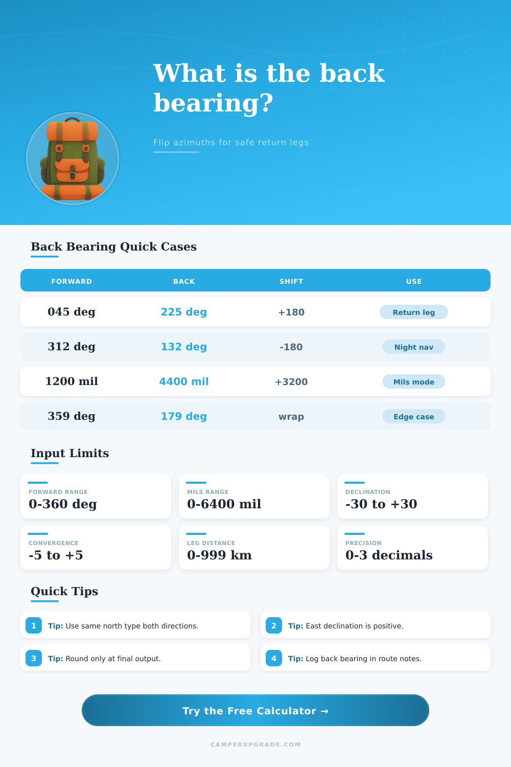
A back bearing is a navigational tool that help individuals determine the exact opposite direction of the path they traveled to reach there destination. When an individual take a specific bearing to travel to their destination, they must use a back bearing to return to their starting location. You can calculate the back bearing by adding 180 degree to the outbound bearing.
However, if the outbound bearing plus 180 degrees total to a number greater than 360 degrees, you should subtract 360 degrees from that total to determine the back bearing. For instance, if the outbound bearing is 220 degrees, adding 180 degrees would create a total of 400 degrees. Subtracted by 360 degrees, the back bearing would be 40 degrees.
How to Find and Use a Back Bearing
Additionally, if the measurement used for the outbound bearing are in the mil system (used primarily by the military), the back bearing is calculated by adding 3200 mils to the outbound bearing. In the same instance as above, if the outbound bearing was 3600 mils, adding 3200 mils would create 6800 mils. Since this total exceed 6400 mils, 6400 mils would be subtracted, leaving 400 mils as the back bearing.
The use of different type of north exist in navigation. These different types of north include magnetic north, true north, and grid north. Magnetic north is the direction that a compass pointer indicates, however, magnetic north can change over time due to the movement of the Earths core.
True north and magnetic north often has a difference in their measurements, referred to as declination. Declination can be positive if the difference between magnetic and true north is east, or it can be negative if the difference between the two north points is magnetic west. If an individual ignores declination in the outbound journey, they will end up traveling in the wrong direction.
Grid north is the measurement indicated by the grid lines on a map. Grid north can be different than true north due to a measurement referred to as grid convergence. Grid convergence can happen due to the distortion of the Earths meridians when maps are created.
This can cause an individual to travel on a path that is not straightly relative to the map. However, if they take into account grid convergence on their map, they can account for it on their journey. In order to successfully navigate their journey, an individual needs to use the same type of north for the outbound journey and the back journey.
Many individuals makes mistakes when they are calculating their back bearings. One of the most common types of error is using the wrong declination for their journey; this will result in them traveling on the wrong path and arriving at the wrong location. Another of the most common types of errors is the incorrect calculation of the back bearing.
An individual can avoid both of these mistakes by logging the bearings that is to be used for the outbound journey. By logging the outbound journey and the back journey bearings together, an individual will not have to perform the calculations in their head while they may be tired or traveling in low level of light. By logging these bearings, the individual ensures that their bearings are correct and reduces the chance of make any errors.
An individual should also account for the changes in their speed during their journey. The speed at which an individual travels on the outbound journey is not necessarily going to be the same on the return journey. For example, the individual may travel on foot during the outbound journey.
However, on the return journey they may ride a vehicle. Additionally, an individual may travel on foot, but at a slow rate through a forest, which will result in later arrival at the destination in comparison than the outbound journey. In this instance, the individual should of accounted for this by adding 10% to 20% to the estimated time of arrival for the return journey.
In order to successfully navigate an individual’s movement in an area, there are specific field habit and practices that can be followed. The first that an individual should do is to check the declination at the spot where they turn around to begin their return journey. The individual should also check their map for the value of the grid convergence to adjust their grid bearing.
Additionally, the individual should round their numbers at the last stage of their calculation. Rounding numbers too early in the calculation can introduce propagation errors. Propagation errors are the result of small errors in the early calculations being carried forward to the final calculation.
These propagation errors will make the individual’s calculated back bearing inaccuracy. Finally, the individual should also make sure to correctly record the back bearing, distance, speed, and estimated time of arrival for the return journey. By recording this information, the individual will have a plan for the return journey, and they will be able to follow that plan to stay on the correct path.